How 3D Technology is Transforming Preservation at Taliesin West
Fred Prozzillo | Jul 21, 2018
Embracing the original experimental spirit of Frank Lloyd Wright’s Taliesin West, 3D digital scanning is being used to amplify the legacy and understanding of the American architect’s ‘winter camp’, writes Fred Prozzillo, Vice President of Preservation for the Frank Lloyd Wright Foundation
This article originally appeared on Icon magazine online.
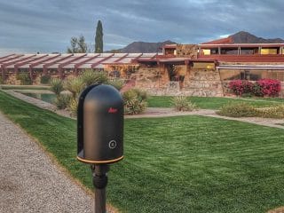
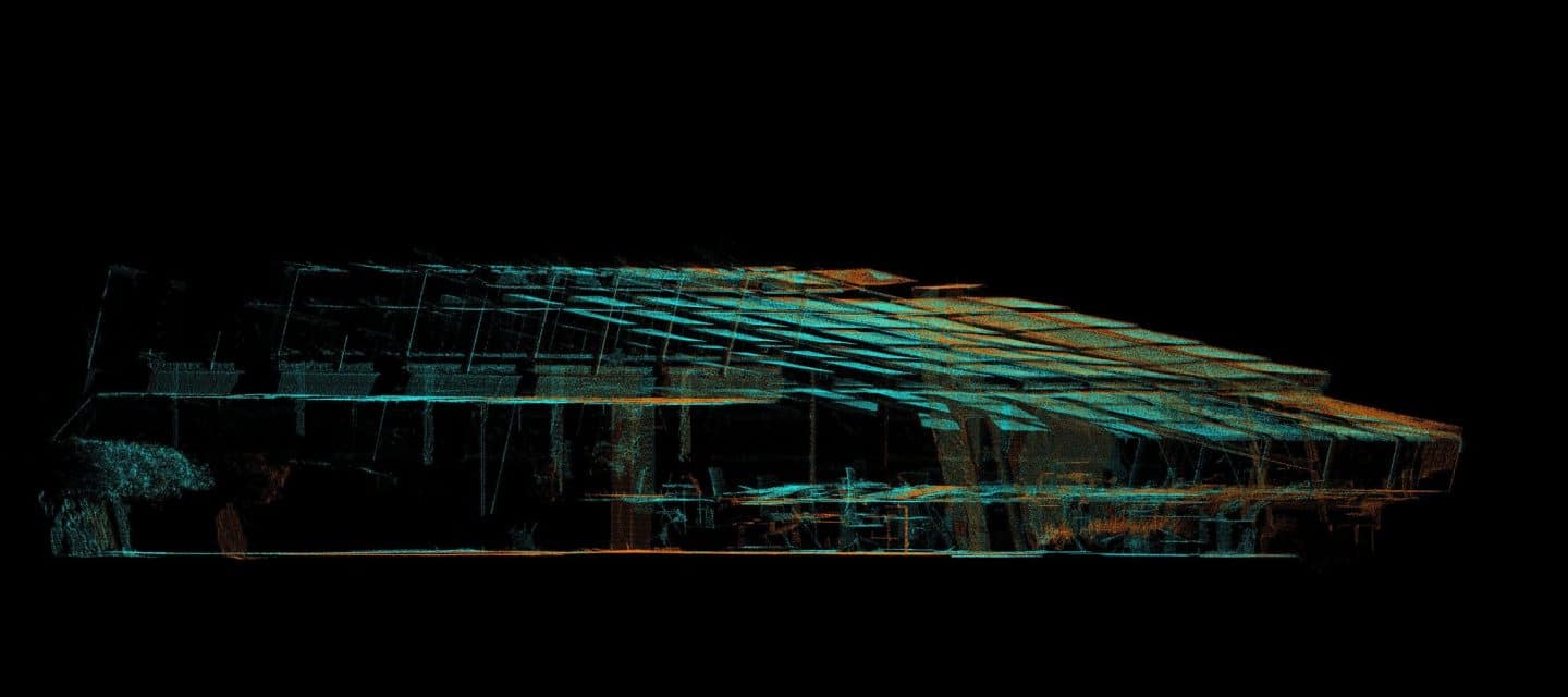
Frank Lloyd Wright’s Taliesin West was always a place of innovation and exploration, where the architect returned every fall to test the limits of architecture, design, and building. To continue this legacy, The Frank Lloyd Wright Foundation partnered with Leica Geosystems and Multivista to make Taliesin West a universal and accessible experience, as well as give a new depth of understanding into this unique and ever-evolving site. Using the Leica BLK360, the partners conducted a series of 3D digital imaging laser scans of Wright’s winter camp, generating a highly accurate, fully detailed, three-dimensional point cloud of the property, along with a high definition virtual reality model.
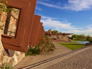
Recognized as one of Wright’s masterworks, Taliesin West was his winter home and studio in the desert of Arizona. From 1938 to 1959, this is where Wright and his apprentices constantly experimented with different building techniques, forms, and materials. Each winter Wright would view his camp with a fresh eye, having spent his summers at his home in the Midwest United States. With a cadre of young apprentices to work on the buildings, he was free to make alterations and test his theories, treating Taliesin West as his architectural laboratory.

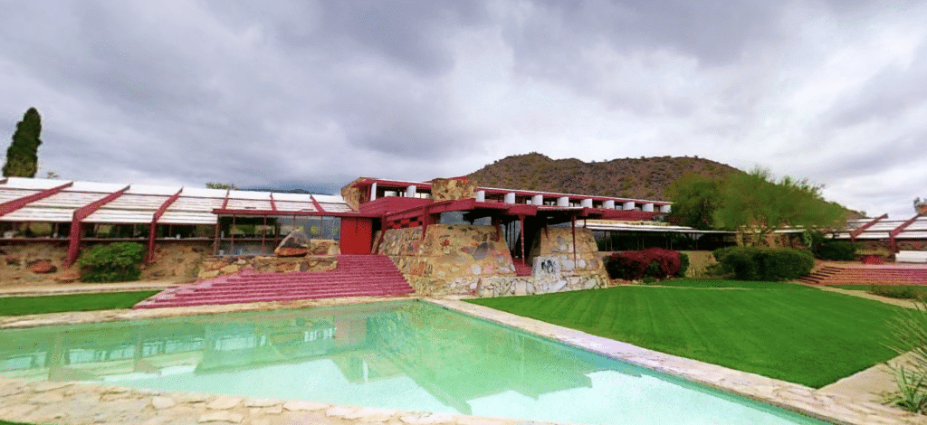
Wright always referred to Taliesin West as his “winter camp,” where four of the main structures were designed with a canvas roof. It was under the fabric roof of the drafting studio that apprentices assisted the master architect on the design of the Guggenheim Museum. For Wright, the canvas provided cover from the desert sun and produced wonderful filtered light for drafting. With spatial characteristics of an open-air pavilion, the fabric-roofed buildings seemed alive as desert breezes lifted the fabric as if the building were inhaling and exhaling. Over time, the buildings lost these important spatial and experiential characteristics to meet program needs, with hard acrylic panels replacing the canvas. It is our goal to return the camp characteristics to the buildings.
In an effort to embrace the original spirit of Taliesin West and support Wright’s legacy of change, we adopted a values-based approach to preservation; we use a prescribed set of inherent values of the site as guiding factors in its preservation, rather than focusing on a fixed point in time. Today, we have the opportunity, using modern materials and Leica’s technology, to regain the experiential values the canvas roofs provided. The Leica BLK360 scans enable our team to explore the space on a deep level. The 3D dimensionally precise scans, and the detailed understanding of material, form, and space they provide, will be used as models to dissect and analyze minute details to identify construction methodologies and inconsistencies. Using this new data, research and planning are currently underway to test materials and installation techniques to implement a fabric roof system in the drafting studio and bring the poetry and movement back to the buildings as we restore the open-air camp-like feel of Taliesin West.

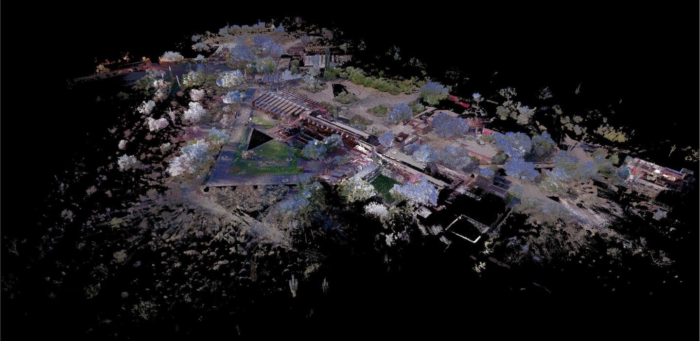
The information provided by Leica Geosystems and Multivista is an invaluable tool for our preservation work at Taliesin West. The data provides the ability to access and assess elements of the site remotely in a meaningful way and provides a platform for cataloging patterns of construction methodology and building condition assessments and documentation. The Leica BLK360 provides data that has been previously out of reach in the architectural industry. It created an accurately scaled 3D digital replica— known as a point cloud— of the site, putting visual and dimensional project information at our fingertips. We can use the point cloud to analyze spaces as we develop preservation plans, take highly accurate measurements within a space from our desktop, or open it in CAD design software like AutoCAD and Revit where the dimensional data can be used to build floorplans, elevations, and 3D models.
The brilliance of Wright’s architecture is the space within, not simply the parts and materials that make up the envelope. With the help of Leica Geosystems and Multivista, we are now able to fully understand, dissect, and analyze the details of the site and continue more thoroughly toward our goal of preserving and interpreting Taliesin West.
Take a Virtual Tour of Taliesin West
Designed for architects and architectural enthusiasts, the self-guided virtual tour of Taliesin West delivers unprecedented access to Frank Lloyd Wright’s winter camp and desert laboratory in Arizona. It allows visitors to roam from room-to-room, walk the gardens, and zoom in on the expansive collection of sculptures that adorn the property.
Take the immersive Taliesin West experience: FrankLloydWright.org/3DLAB.
Fred Prozzillo is Vice President of Preservation for the Frank Lloyd Wright Foundation.
